December 7-13, 2025
Rain, rain, and more rain

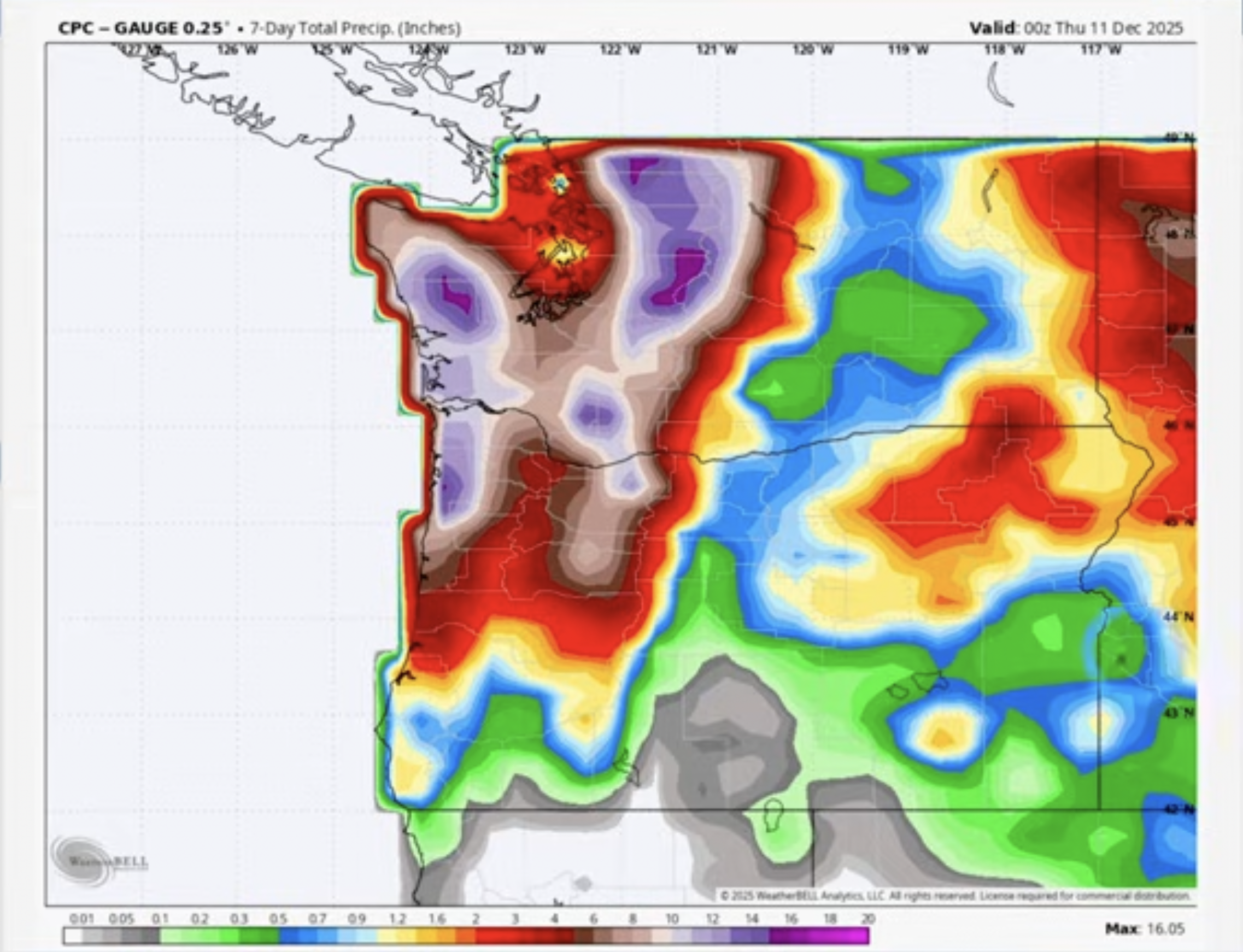
This has been a week for the record books, with a massive atmospheric river unleashing 15 inches of rain in the mountains and causing widespread flooding across western Washington.
Week in Review
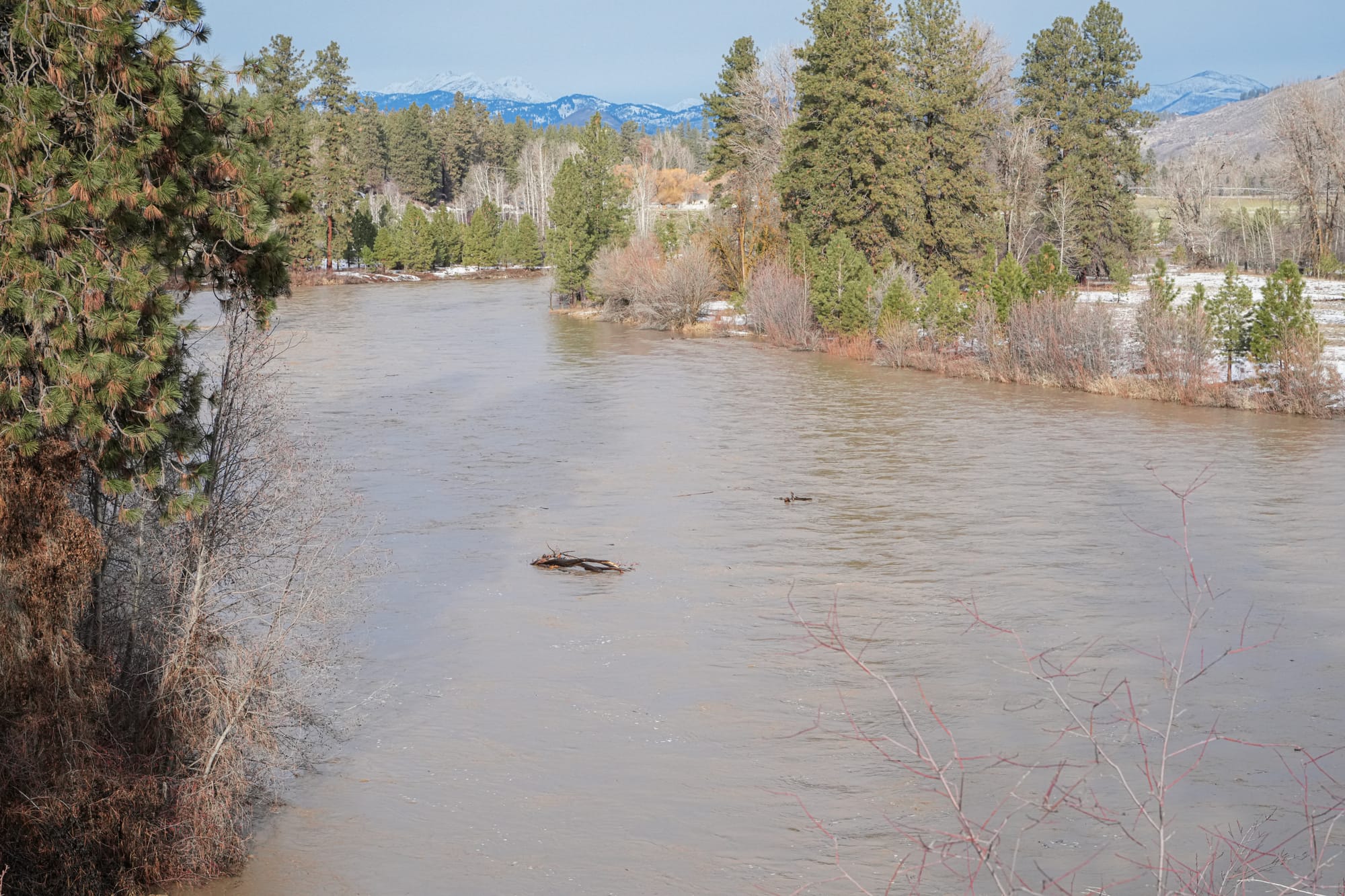
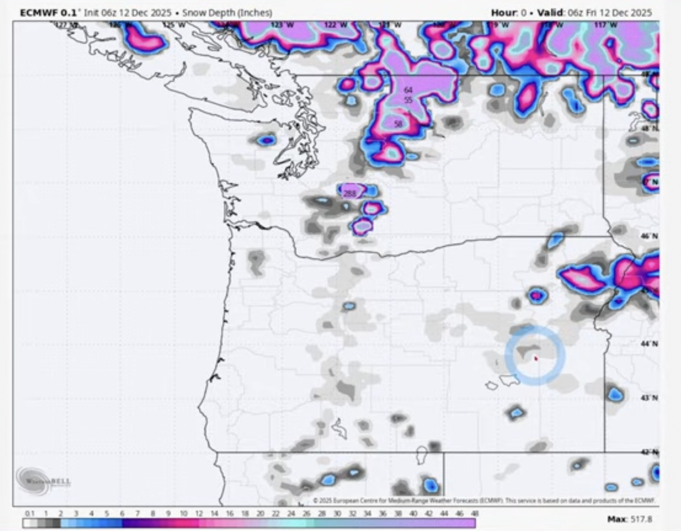
I'm not sure how much rain we received in the Methow Valley this week, but it was a lot! While I measured 2 inches at my house in Winthrop, weather stations reported 5 inches in Mazama. Even worse, the storm started with several inches of snow that turned into heavy rain in the middle of the night, and our creeks and rivers rose dramatically from the combination of rain and melting snow.
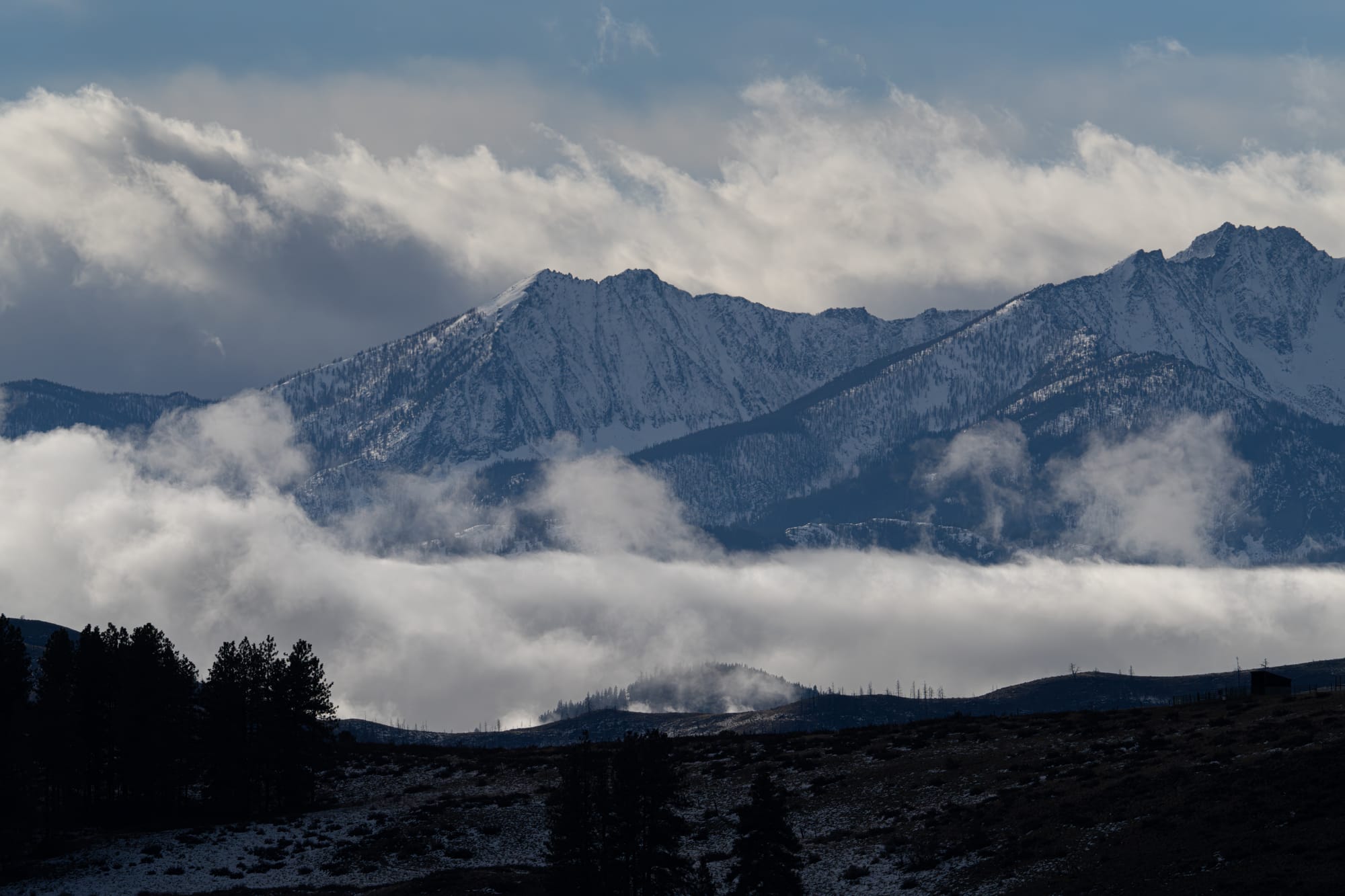
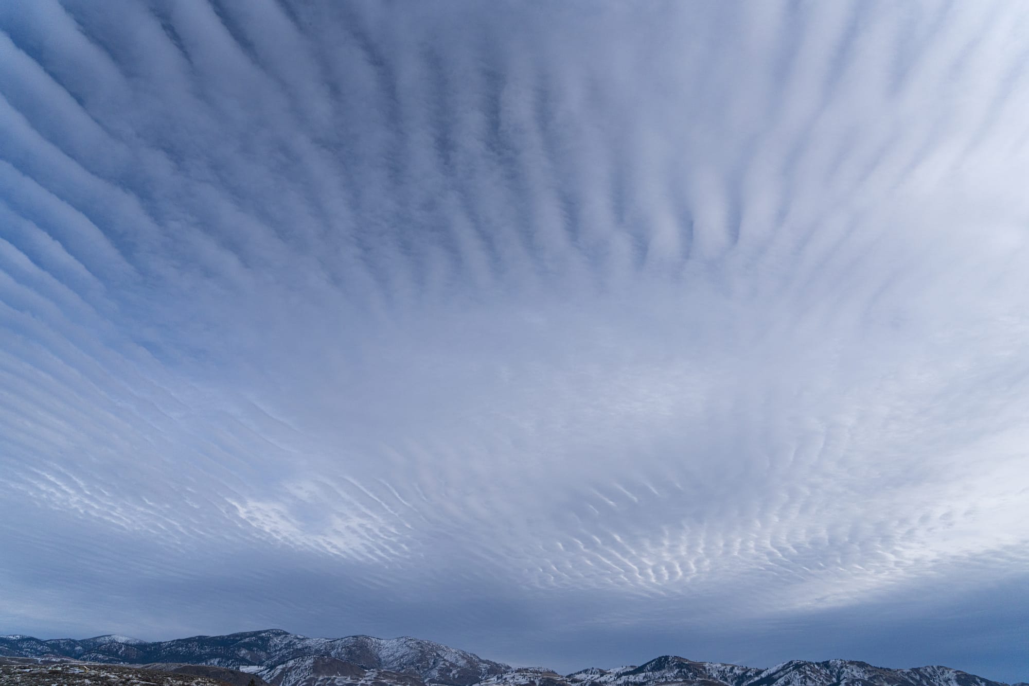
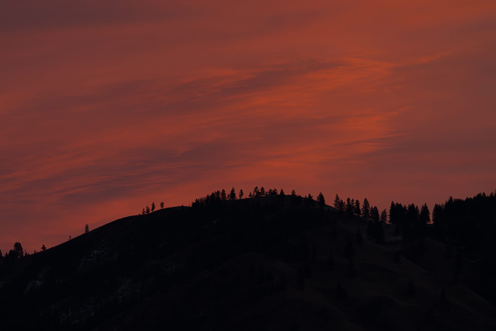
Amid all the rain, however, we also had a couple of lovely days this week, and I was surprised at how much activity I observed. First of all, the light and sky were endlessly interesting, and they made every outing enjoyable. I think this was because every day presented some stage of a storm system either arriving or departing.
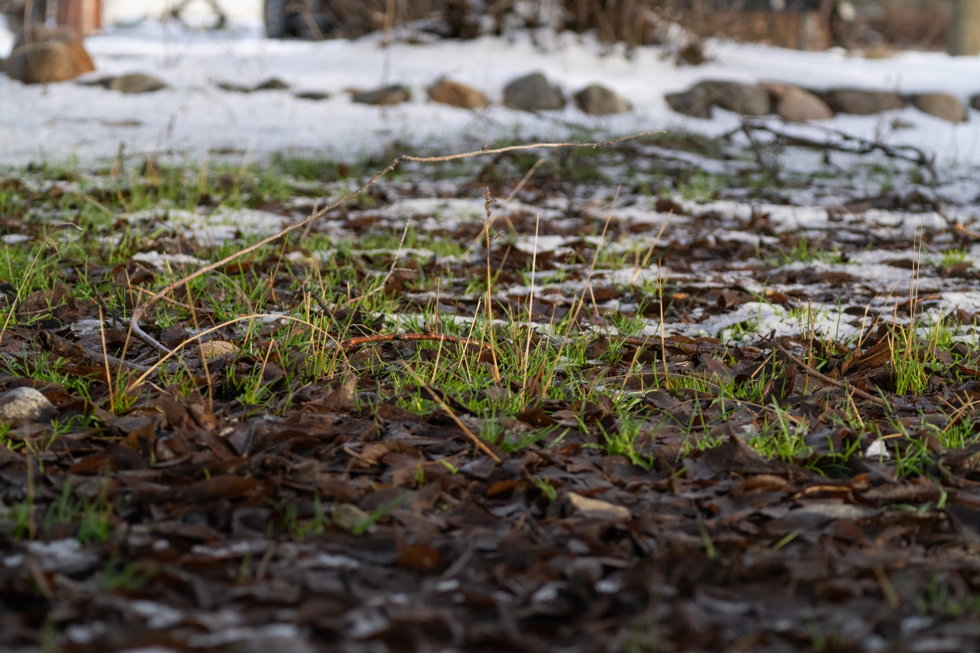
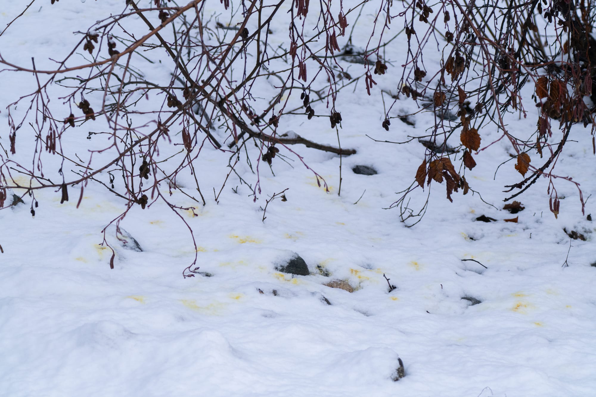
This unusually warm turn in the weather is also impacting plants, most notably in terms of new sprouts emerging from the soil. Someone asked me if these seedlings would survive the winter, and I think in general it helps if plants get an early start, then sit out the winter under an insulating blanket of snow. However, this strategy could backfire if temperatures drop well below freezing and there's little to no snow on the ground.
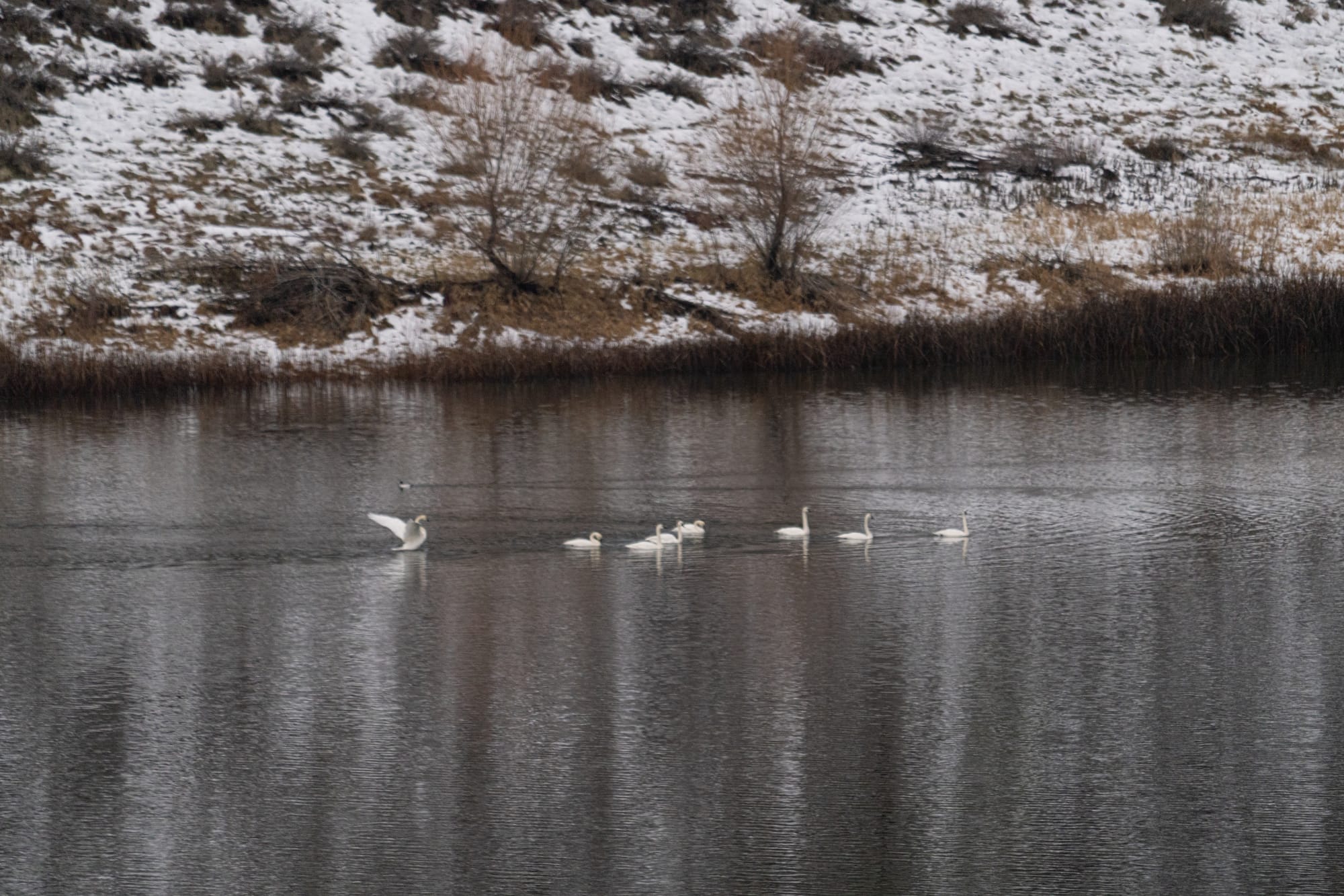
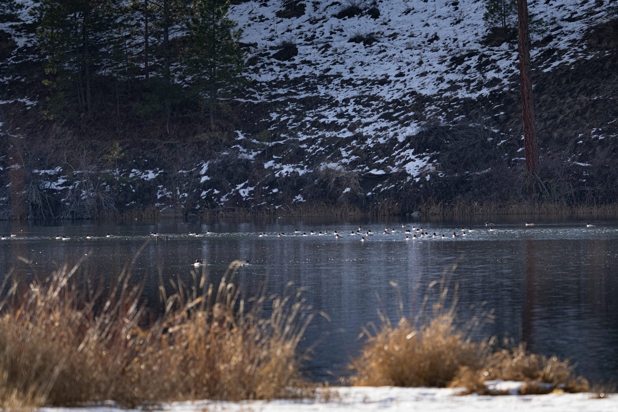
There was also a lot of bird activity this week, and I ended up with so many photographs that it would make for a very long newsletter. Notable sightings include the continued presence of high numbers of trumpeter swans at Big Twin Lake (up to 26 birds) and a large group of common mergansers hanging out at Pearrygin Lake.
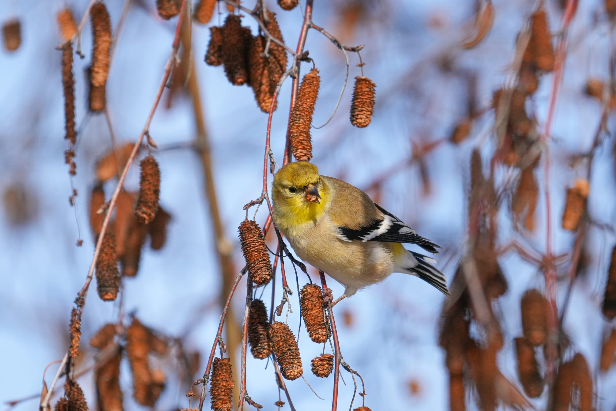
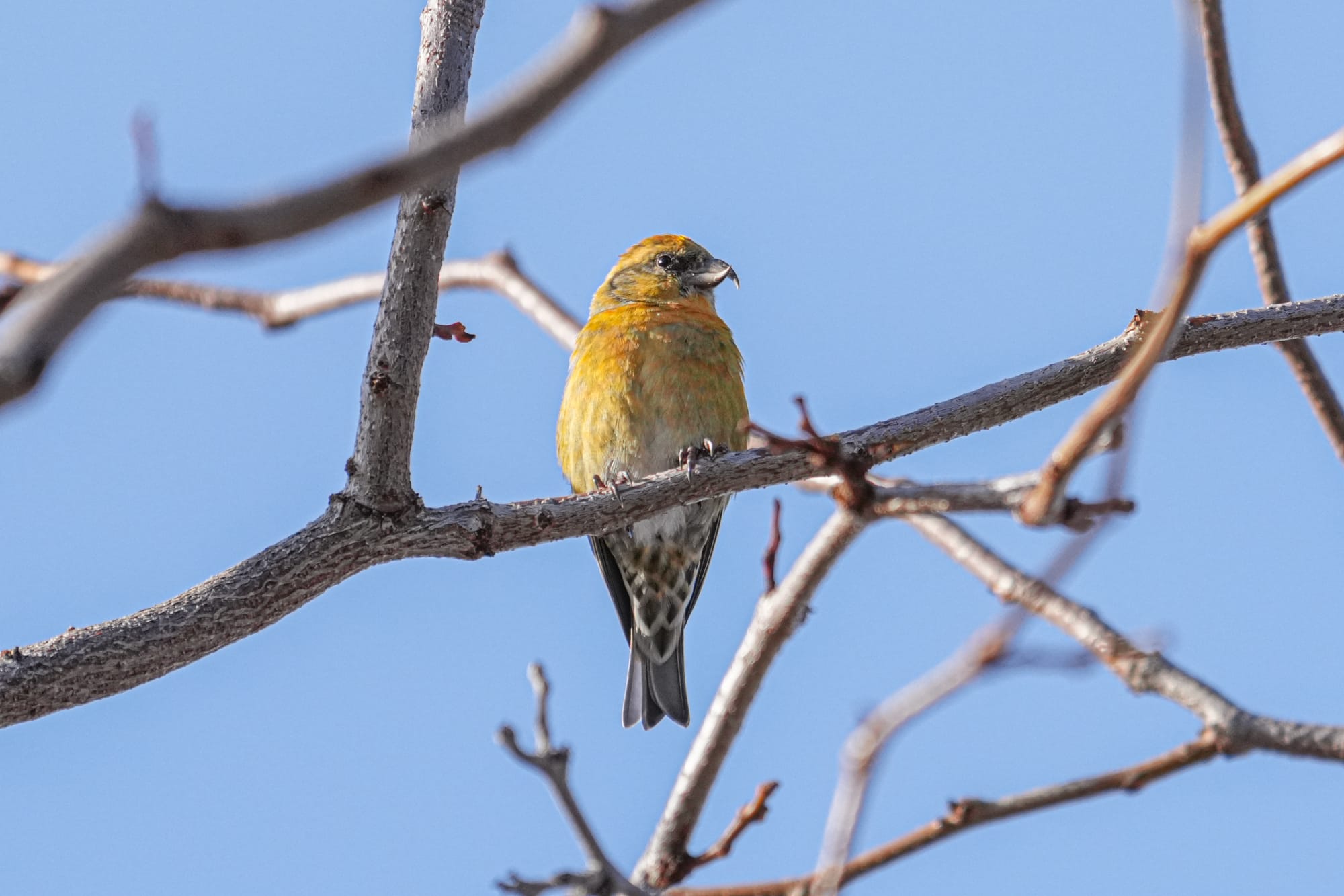
Pearrygin Lake has also been a magnet for finches and other seed-eating birds. On a sunny day, the park's campgrounds are buzzing with noise and activity as countless house, purple, and Cassin's finches, American goldfinches, and red crossbills gather to feed on the seeds of the park's many ornamental trees. This is easily the best spot to see birds in the valley right now.

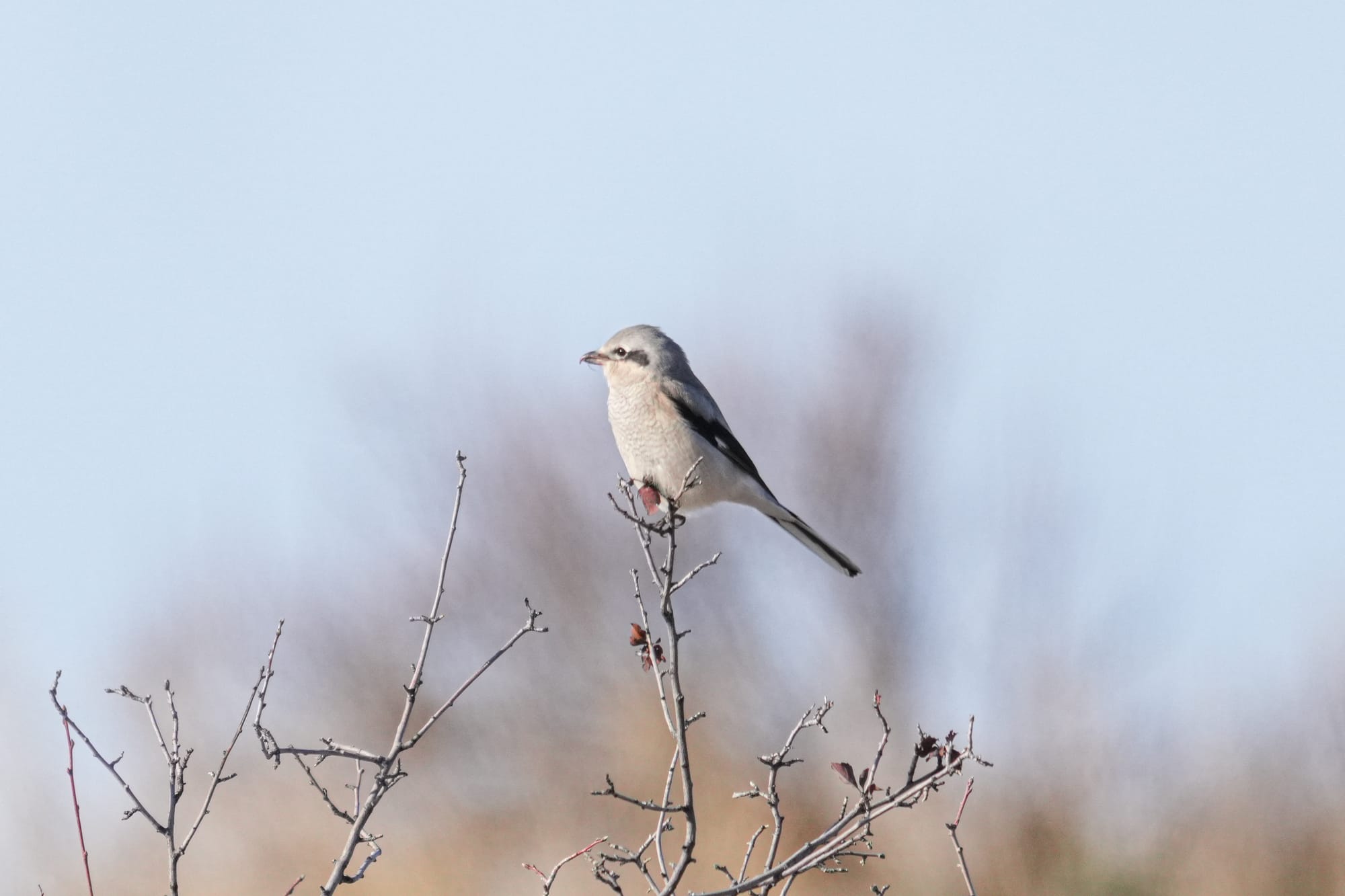
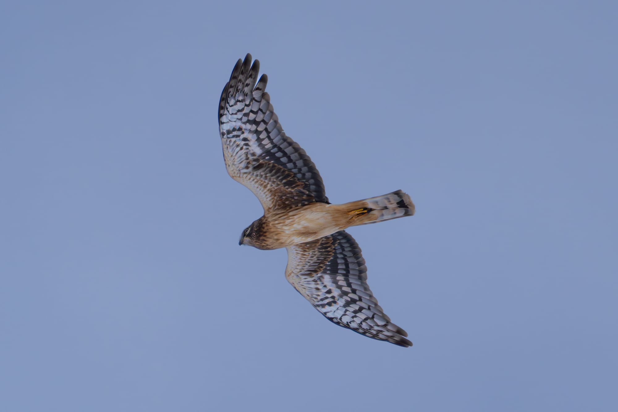
I saw many other fun birds this week, including hairy woodpeckers, song sparrows, and American kestrels, plus a courageous red-winged blackbird singing and proclaiming a territory in the cattails at a frozen pond. Even more interesting were a handful of what you might call "winter birds," including my first northern pygmy owl of the season, plus some northern shrikes, and a late-lingering northern harrier.

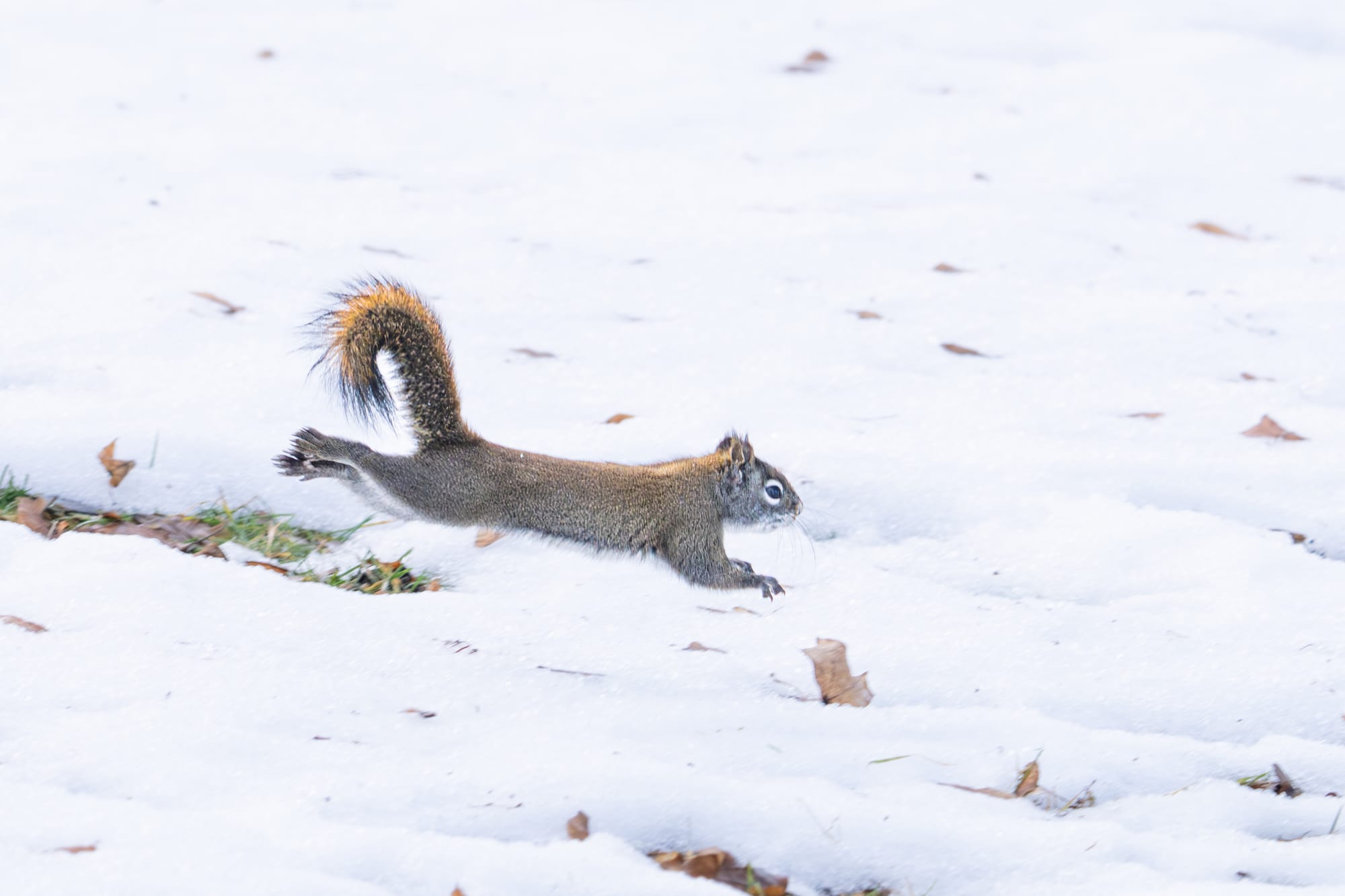
Finally, the warmth of a sunny day seems to have gotten some red squirrels pretty excited because two of them at Pearrygin Lake were out fighting for territory. Snow was flying as they rolled, kicked, and leaped up and down to avoid each other's attacks. They generally avoid confrontations like this when conditions are cold and snowy, but maybe the warm weather makes them start thinking about spring.
Observation of the Week: Atmospheric River
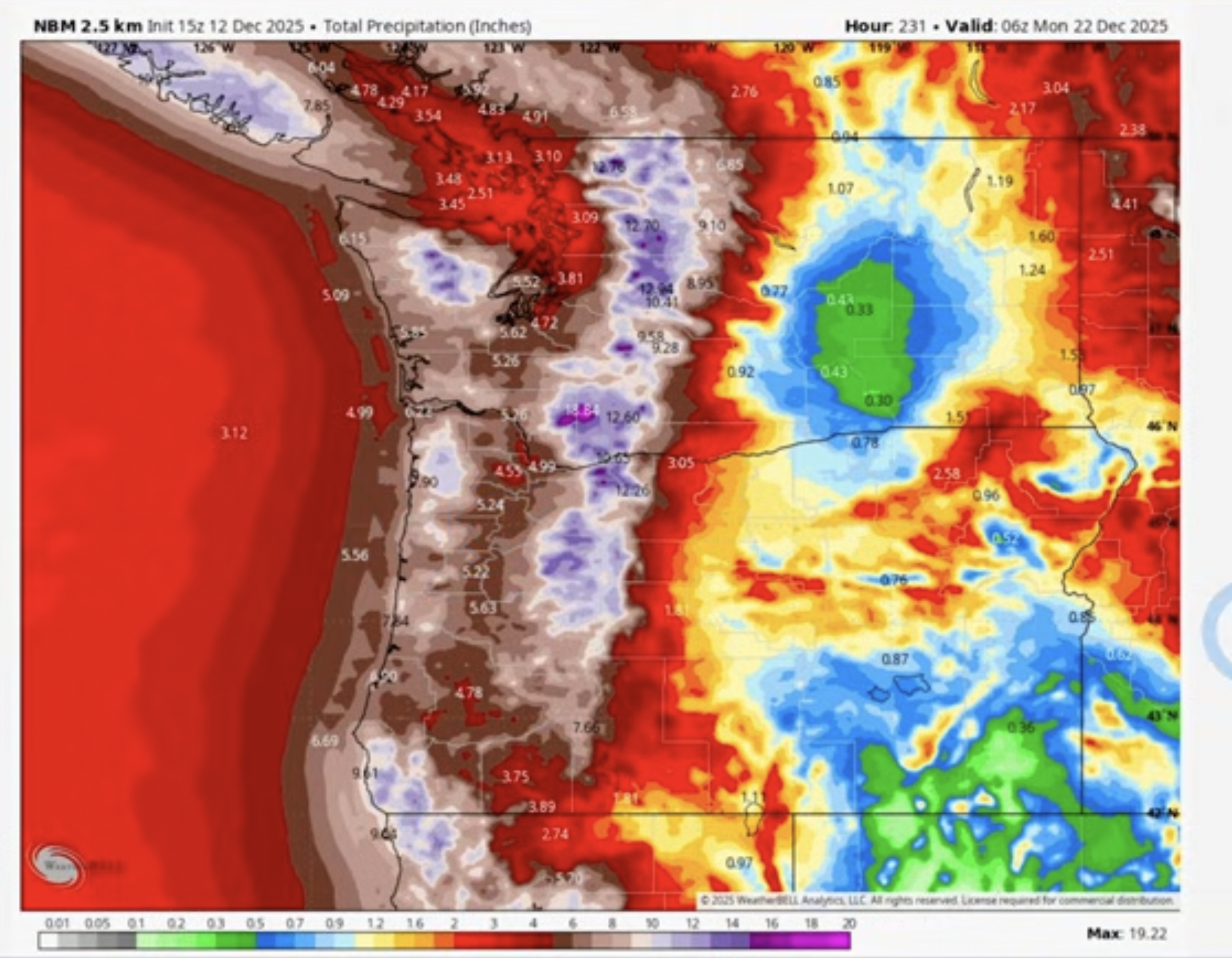
Without a doubt, the observation of the week was this week's atmospheric river, which delivered record-breaking rainfalls and flooding across much of the Pacific Northwest. Atmospheric rivers are long, narrow corridors of concentrated moisture in the atmosphere that start in the South Pacific and transport vast amounts of water to the West Coast.
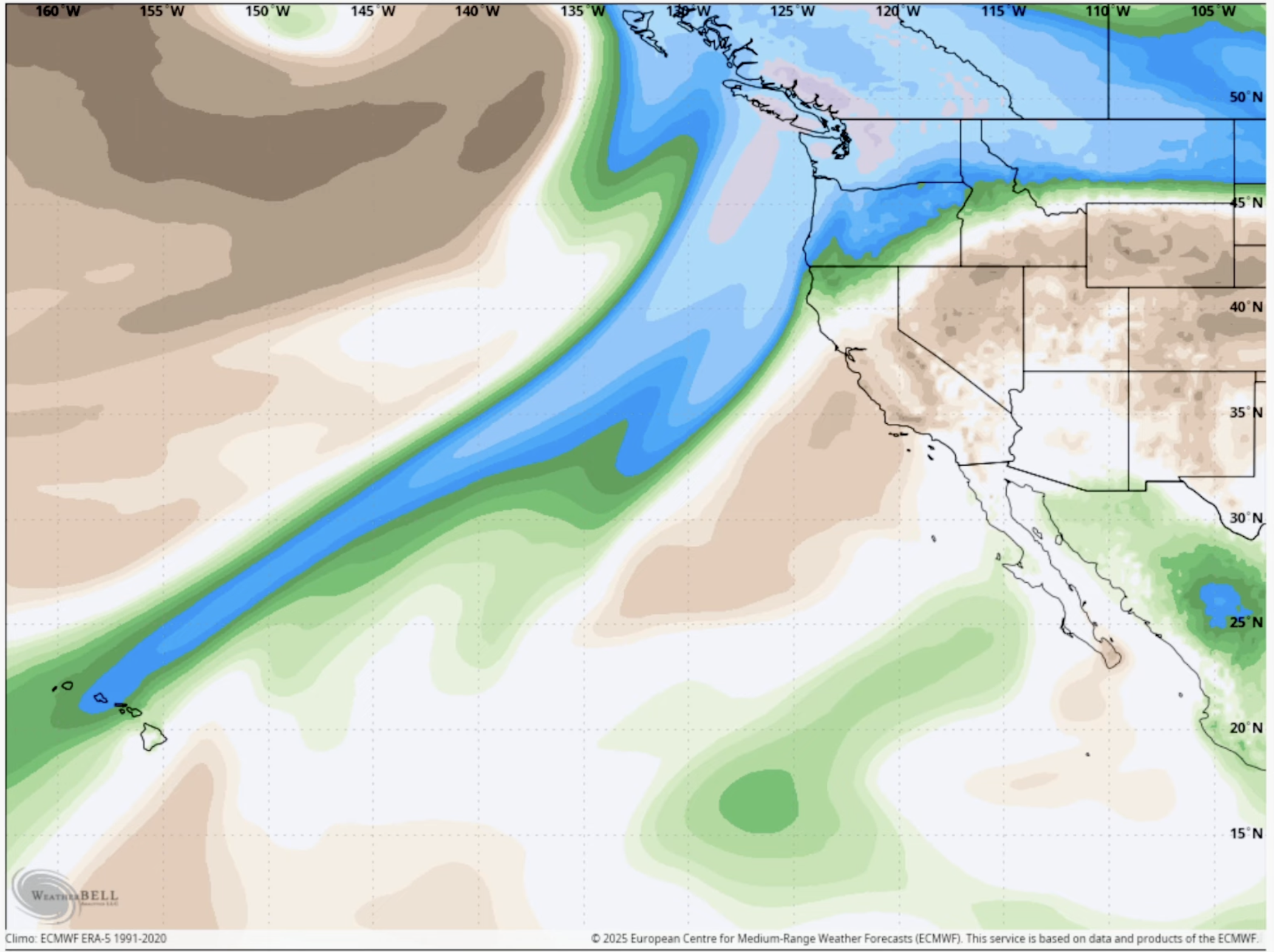
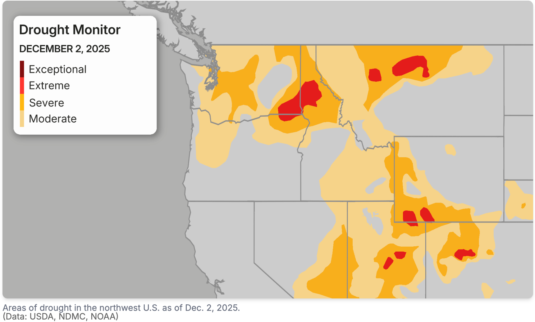
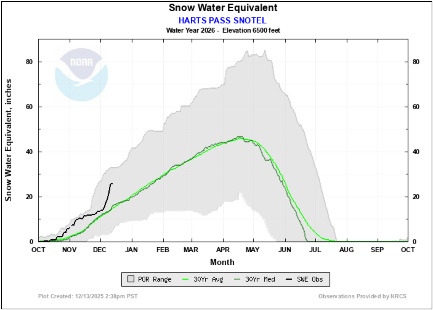
Ironically, just a few days ago, much of Washington was experiencing a prolonged drought. Although we just received an insane amount of water, the Cascade snowpack still isn't doing well because much of this deluge of water is flushing through the system as rain rather than lingering in deep snowpacks.
If you don't already know about Michael Snyder, his daily Pacific Northwest Weather Watch updates on YouTube are probably the best and most detailed explanations of what's happening in Northwest weather. His updates are entertaining and well worth watching. This week he's been comparing the atmospheric river we just got with the next one in line, and it's looks like we're in for another round. Buckle up folks and stay safe!